Meddelelse om produkttilbagekaldelse af ACU-150 og ACU-400
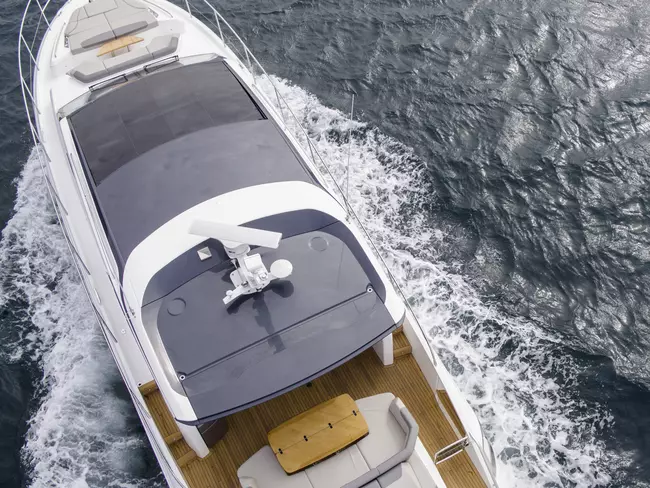
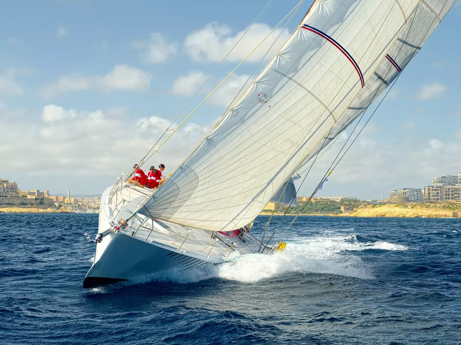
Læs mereMed årtiers historie, hvor Raymarine har været i føresædet når det kommer til teknologi ombord, har vi rykket grænser for at hjælpe sejlere. Gør dig klar til at tage med os ud på det næste eventyr med vores seneste nyhed og udnyt din båds fulde potentiale på vandet.

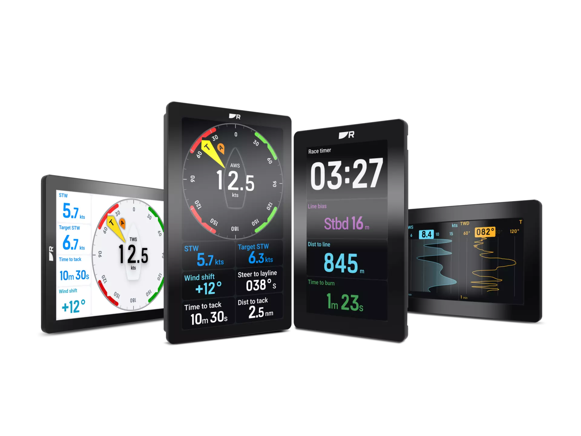
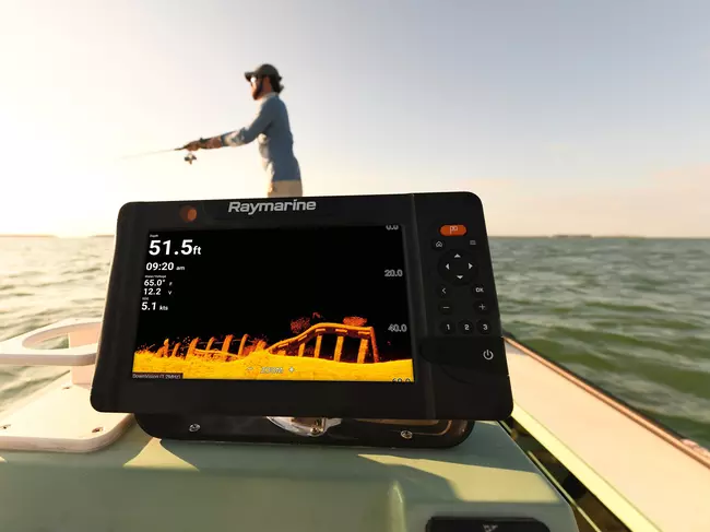
Den prisvindende Alpha Performance Displays er vores mest alsidige marine datadisplays. Meget lysstærke touchskærmsinstrumenter med brede synsvinkler, der giver fremragende synlighed overalt ombord.

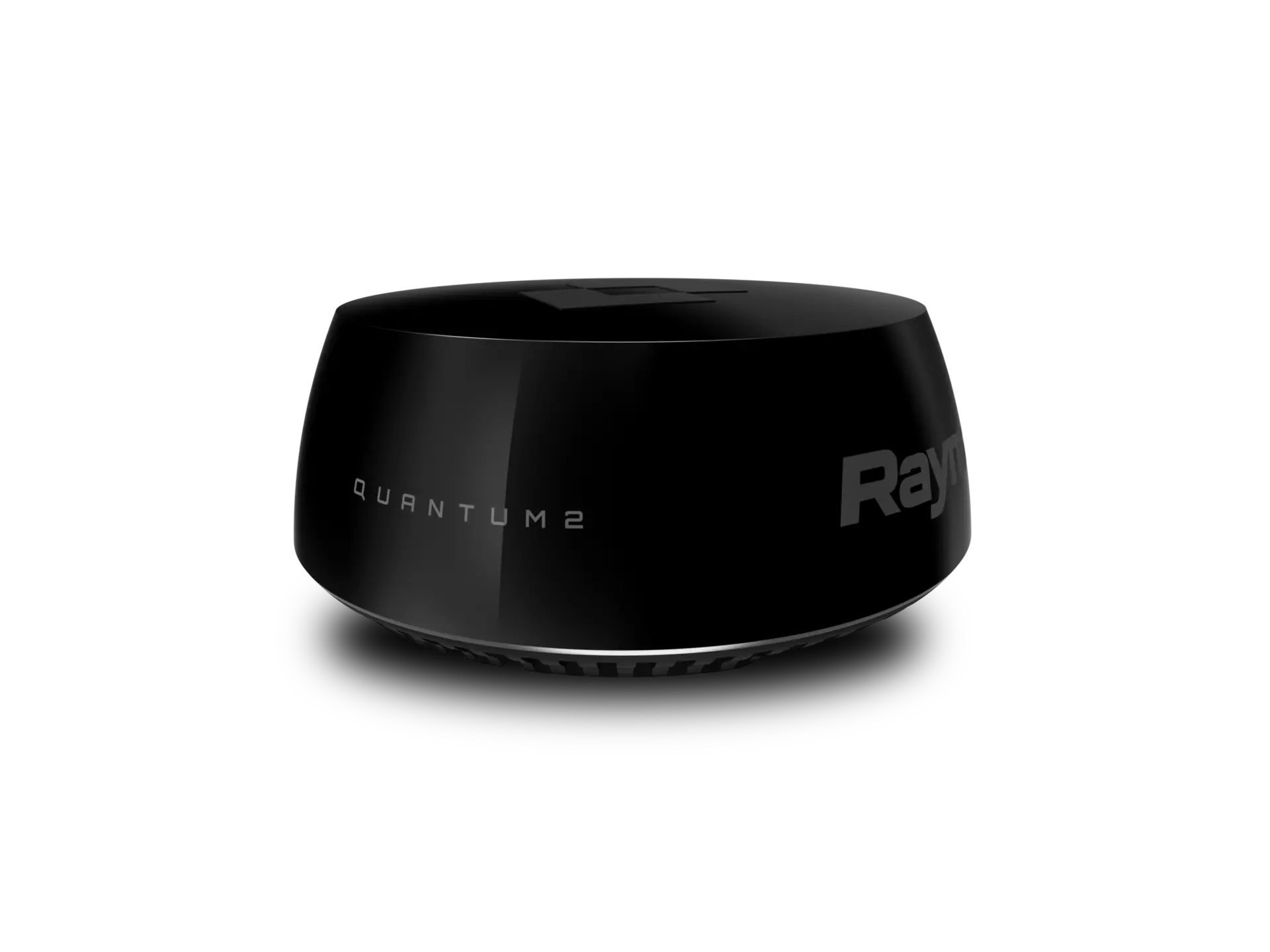
Den dristige og selvsikre Quantum 2 Radar fås nu i et førsteklasses sort kabinet, der tilbyder enestående ydeevne og sikkerhedsforbedrende Doppler-sporing med et nyt, sofistikeret look.
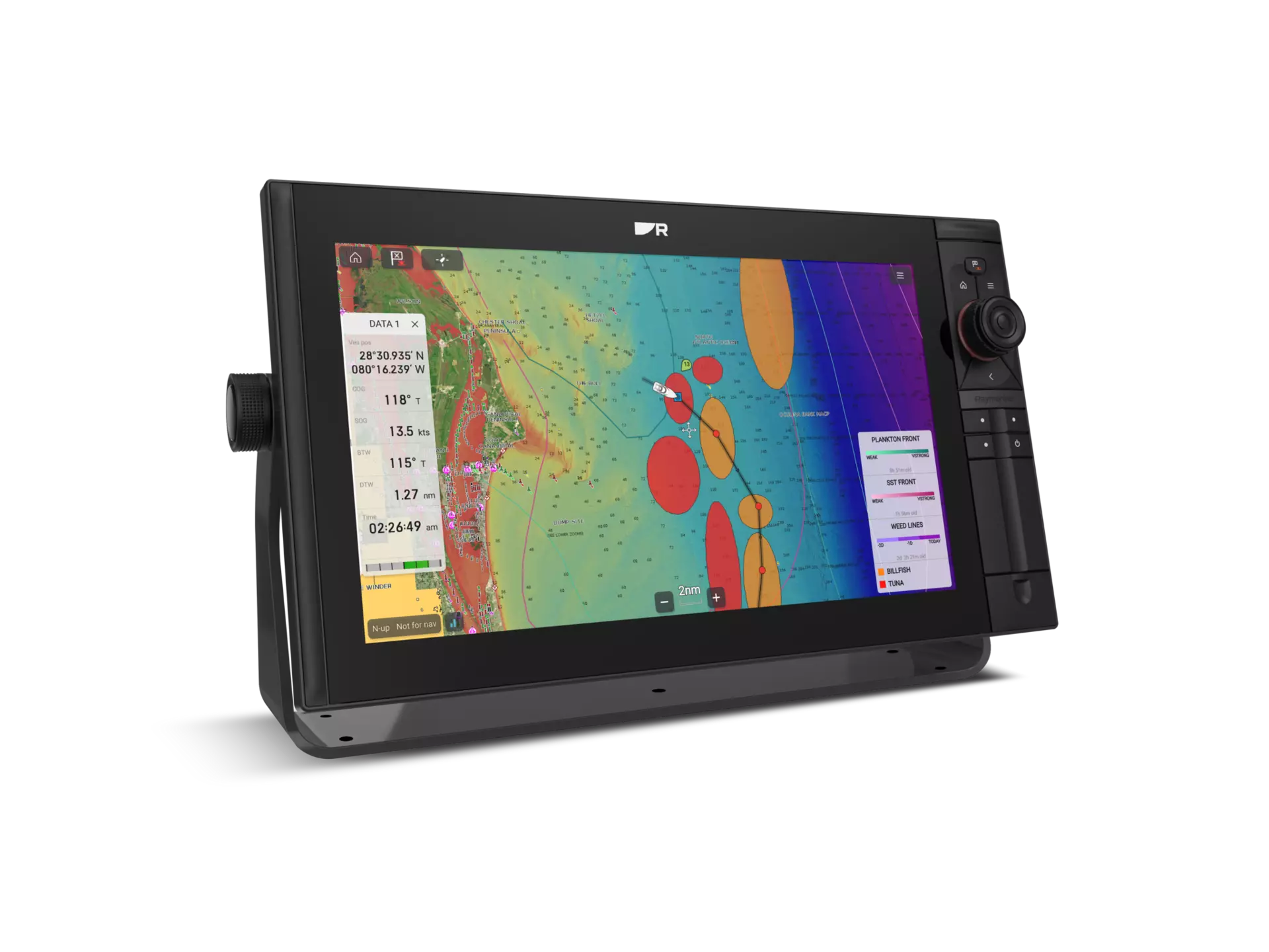
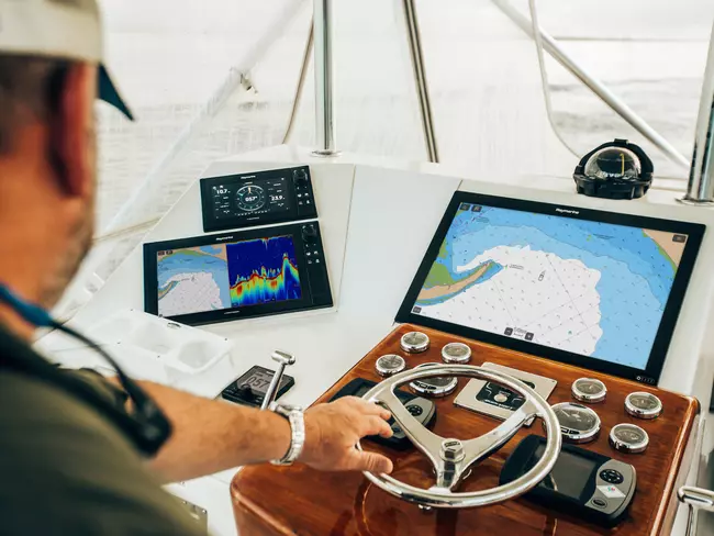
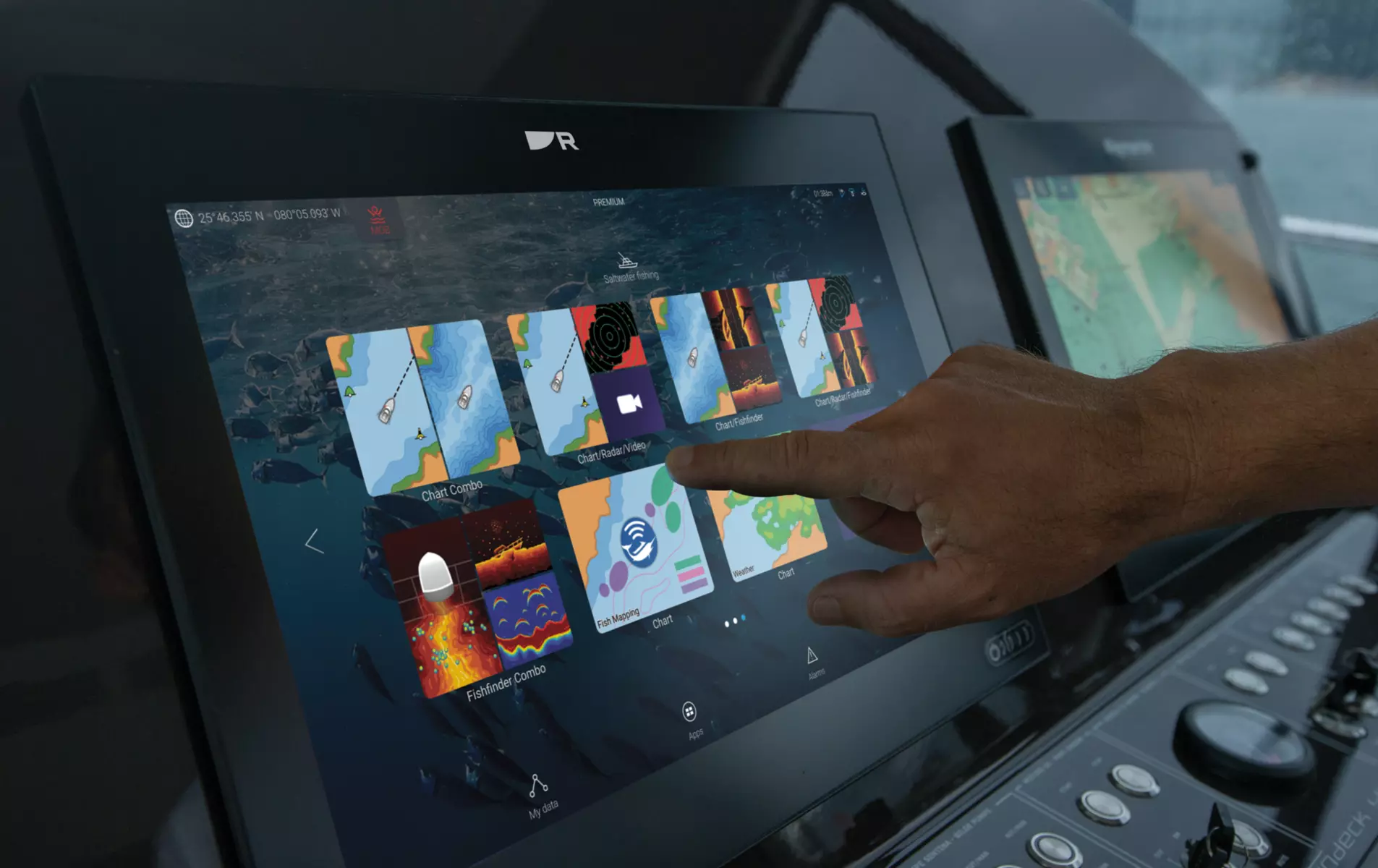
Axiom® 2 Pro RVM kombinerer kortplotter, sonar, radar, autopilot og video til ét kraftfuldt alt-i-et navigationssystem.

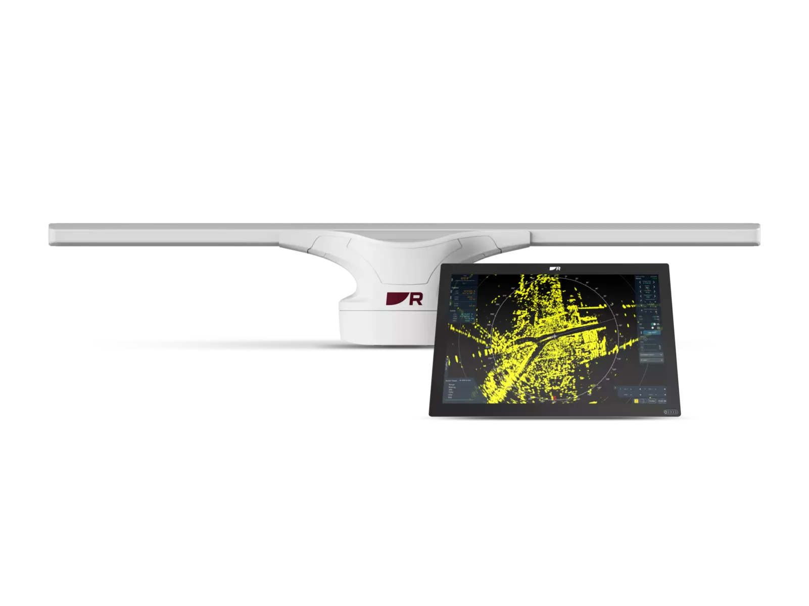
Det revolutionerende nye Pathfinder-radarsystem er bygget på Raymarines gennemprøvede og prisbelønnede solid-state radarteknologi og er designet til typegodkendte CAT 2 og CAT 3 SOLAS skibe.


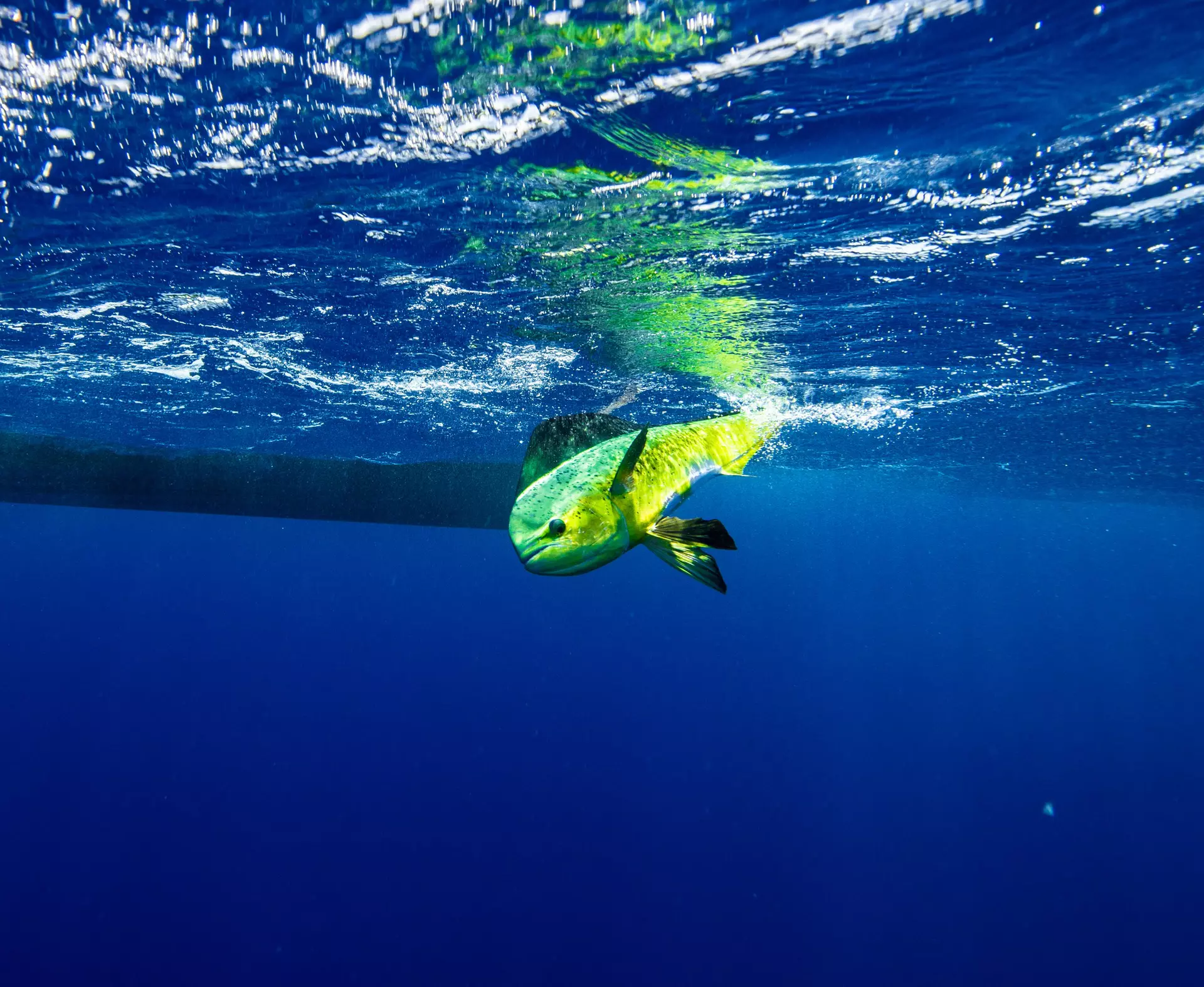
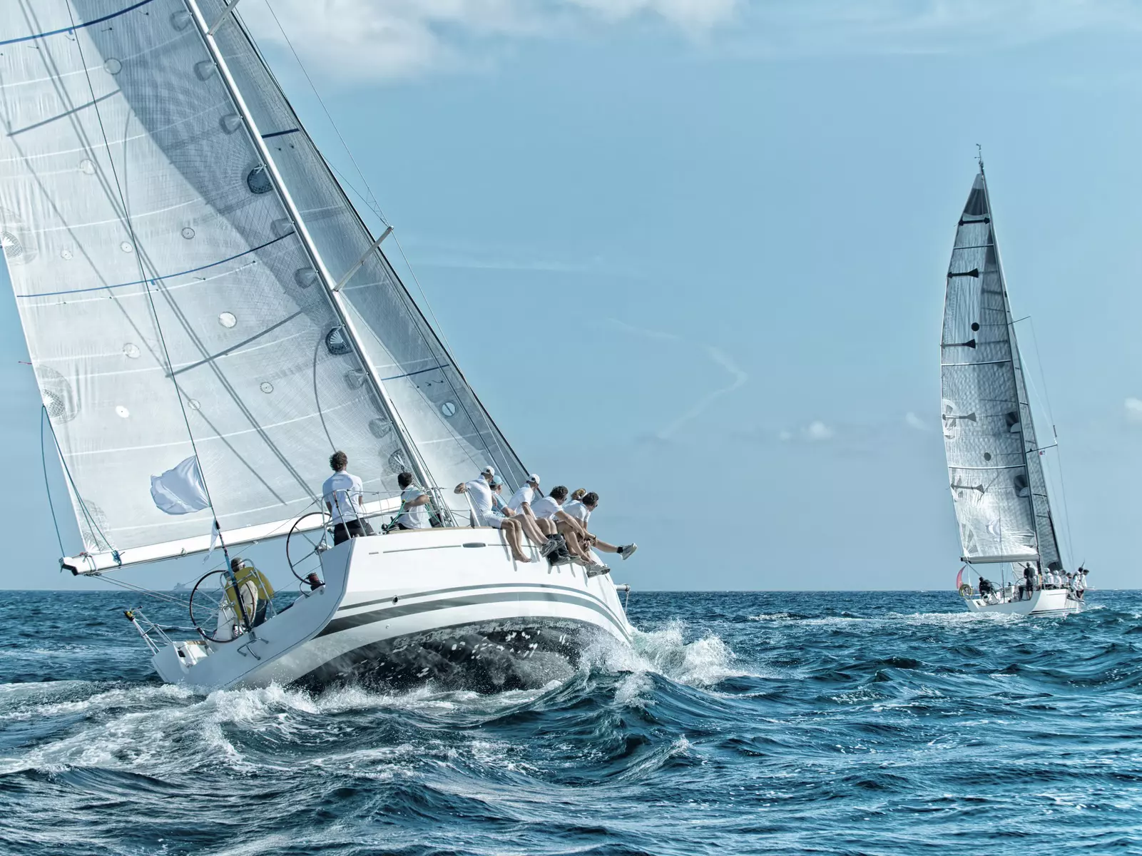
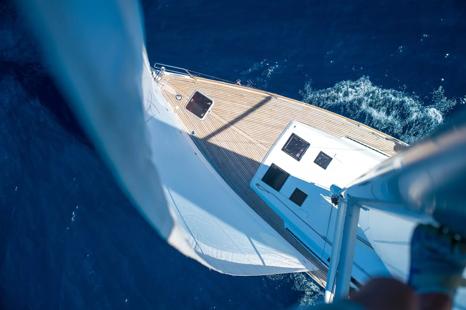
Uanset om du tager på krydstogt, fisker, sejler eller lever på havet, kan du her opleve branchens førende visuelle navigations- og marineteknologi, der gør det nemmere at håndtere bølgerne på din rejse. Få mere at vide om, hvorfor vores produkter, der er de bedste i deres klasse, er kendte for deres robuste design og pålidelighed.
Se alle produkterne
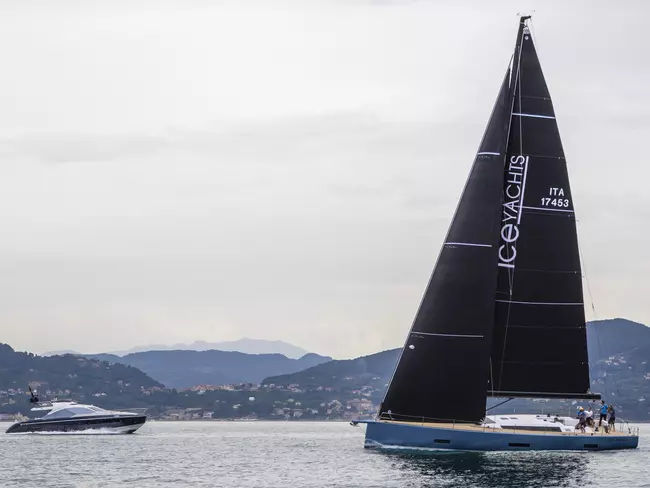
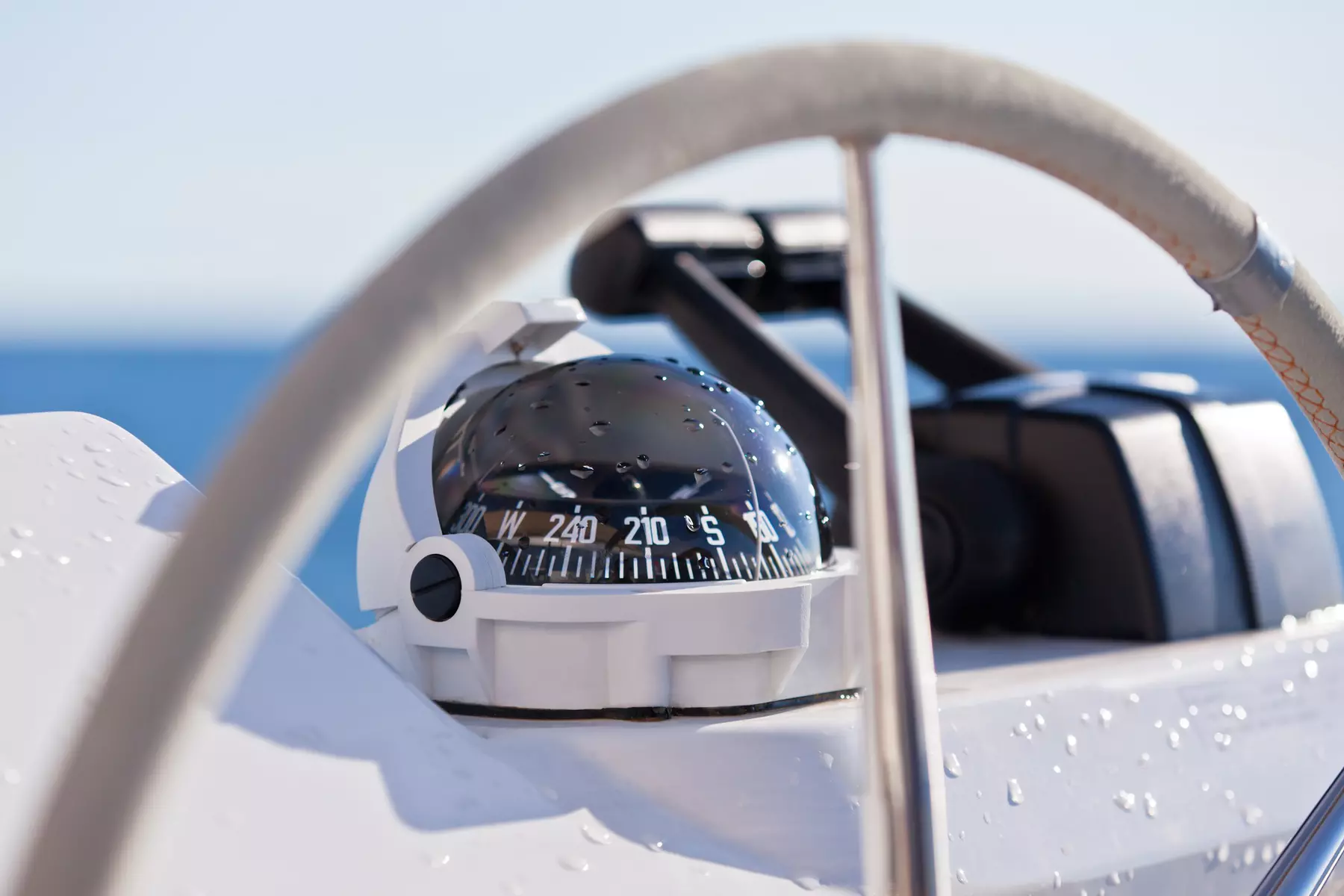
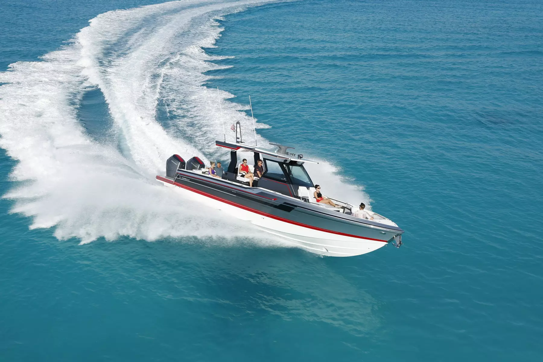
Hos Raymarine giver vi værktøjer til tryg navigation til dem, der vover at sætte kursen mod det ukendte. I over 80 år har vi fremstillet den mest pålidelige marineelektronik for at sikre, at du er klar til at håndtere alt, hvad dybet måtte byde på.
Se vores historie
Læring
Læring

Nyheder

Nyheder
Nyheder

Nyheder

Nyheder

Nyheder

Nyheder
Nyheder
Nyheder
Nyheder
Nyheder
Nyheder
Nyheder
Nyheder

Nyheder

Nyheder
Læring
Læring

Læring
Læring
Læring
Læring
Læring
Læring

Læring
Raymarine tilbyder en række artikler, manualer og videoer til støtte for dit eventyr på vandet. Søg i vores online vidensbase, eller kontakt vores verdensomspændende netværk af forhandlere og installatører.